How to read plat maps in the US is crucial for anyone involved in land development or real estate. This article provides a comprehensive overview of plat maps, explaining their definition and purpose, as well as their importance in land development. Readers will learn to identify property lines, recognize symbols, and understand zoning laws. Tips and techniques will aid in reading and interpreting these essential documents, making it easier for buyers and investors to navigate the complexities of property ownership and development.
Key Takeaways
- Plat maps show land divisions and boundaries.
- Look for street names and lot numbers.
- Check the scale to understand distances.
- Use the key or legend to decode symbols.
- Compare with other maps for clarity.

Understanding Plat Maps: A Comprehensive Overview
Definition and Purpose of Plat Maps
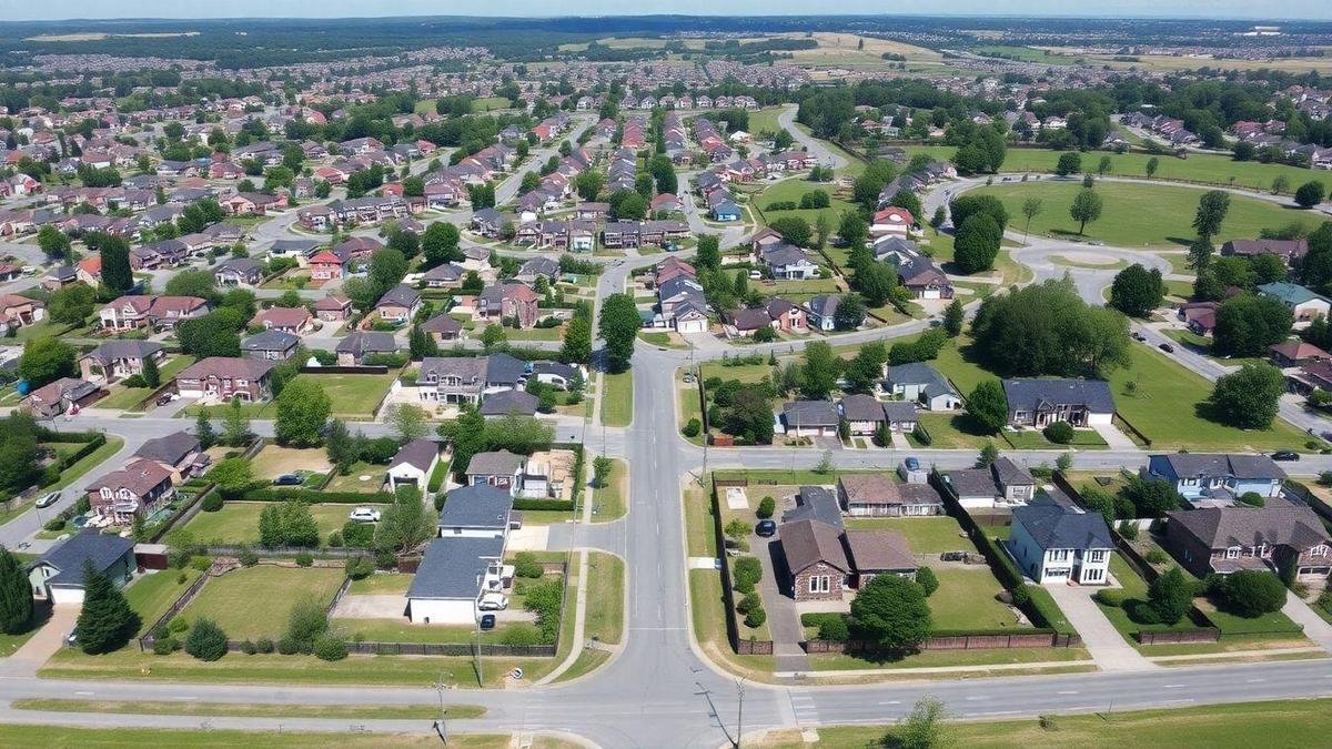
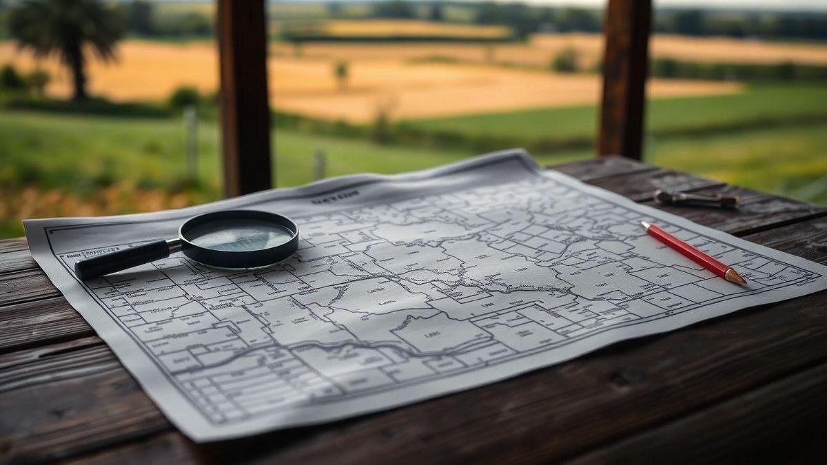
Plat maps are detailed drawings that show how land is divided into smaller sections. They represent land parcels, streets, and public areas. These maps help individuals, developers, and investors visualize the layout of a property. The main purpose of plat maps is to provide clear boundaries and ownership details for each piece of land. This clarity is crucial when making decisions about land use or development.
Importance of Plat Maps in Land Development
Plat maps play a vital role in land development. They help investors and developers understand the zoning of an area and what can be built. Knowing the layout can save time and money. For instance, if a developer wants to build homes, they need to know how many lots are available and if they meet local regulations. Having this information upfront helps avoid costly mistakes later. Understanding zoning laws is essential for making informed decisions.
Key Features Found in Plat Maps
Several key features can be found in plat maps. These include:
| Feature | Description |
|---|---|
| Lot Lines | Show the boundaries of each parcel of land. |
| Easements | Indicate areas where others may have rights to use land. |
| Streets and Roads | Display the layout of public and private roads. |
| Public Spaces | Highlight parks, schools, and other community areas. |
| Zoning Information | Provide details on land use regulations. |
Understanding how to read plat maps in the US is essential for anyone involved in land development. By grasping these key features, investors can make informed decisions about purchasing or developing land.

How to Read Plat Maps in US: Step-by-Step Guide
Identifying Property Lines and Boundaries
When exploring how to read plat maps in the US, the first step is to identify property lines and boundaries. Plat maps serve as a visual representation of land parcels, showing how they are divided.
- Locate the Title Block: This usually appears at the bottom or side of the map. It contains essential information such as the name of the surveyor, the date of the survey, and the location.
- Examine the Scale: The scale helps in understanding the size of the property. A smaller scale means a larger area is covered.
- Find the Property Lines: These lines are usually marked with solid or dashed lines. Solid lines indicate boundaries, while dashed lines may represent easements or rights of way.
- Check for Lot Numbers: Each parcel of land is often assigned a unique lot number, making it easier to identify specific properties.
Recognizing Symbols and Notations
Understanding the symbols and notations on a plat map is crucial. Each symbol represents a different feature of the property.
| Symbol | Meaning |
|---|---|
| Solid Line | Property boundary |
| Dashed Line | Easement or right of way |
| Circle | Well or water source |
| Square | Building or structure |
| Arrow | Direction of slope |
Familiarizing oneself with these symbols will aid in interpreting the map effectively. For instance, a circle might indicate a well, while a dashed line could signify an easement, allowing others to access part of the property.
Common Mistakes to Avoid When Reading Plat Maps
- Ignoring the Scale: Failing to consider the scale can lead to miscalculations regarding property size.
- Overlooking Notations: Important notes may explain specific features or restrictions on the land.
- Misinterpreting Symbols: Each symbol has a specific meaning; misunderstanding them can lead to confusion.
By being aware of these common pitfalls, one can navigate plat maps with greater confidence.

The Role of Plat Maps in Real Estate Transactions
How Plat Maps Affect Property Value
Plat maps play a critical role in determining property value. These maps provide a detailed layout of land divisions, showing how properties are organized within a specific area. Investors often rely on plat maps to assess key factors that influence property worth, such as:
- Zoning regulations: Understanding what can be built on a property can impact its value.
- Lot sizes: Larger lots may be more valuable than smaller ones.
- Access to amenities: Proximity to parks, schools, and shopping can enhance value.
By analyzing a plat map, one can gauge whether a property is a sound investment or not. For instance, a lot located near essential services is likely to appreciate more over time compared to one in a remote area.
Using Plat Maps for Due Diligence
When it comes to conducting due diligence, plat maps are indispensable tools. They provide essential insights into property boundaries and neighboring lots. Here’s how they can aid in the process:
- Confirming boundaries: Plat maps clarify where one property ends and another begins, reducing disputes.
- Identifying easements: These maps often show easements, which can affect property use and value.
- Understanding future developments: Changes in zoning or planned developments can be spotted on plat maps, allowing investors to make informed decisions.
By utilizing plat maps, investors are better equipped to navigate the complexities of real estate transactions.
Essential Information for Buyers and Investors
For buyers and investors, understanding how to read plat maps in the US is vital. Here are some essential components to look for:
| Component | Description |
|---|---|
| Lot Number | Identifies the specific parcel of land. |
| Dimensions | Shows the size and shape of the lot. |
| Access Roads | Indicates how to reach the property. |
| Utilities | Displays availability of water, electricity, and gas. |
| Zoning Codes | Defines what types of buildings can be constructed. |
Having a solid grasp of these components allows buyers and investors to make informed choices. They can avoid potential pitfalls and seize opportunities that align with their investment goals.

Interpreting Survey Maps: Techniques and Tips
Understanding Scale and Measurements
When delving into survey maps, understanding scale is crucial. Scale represents the relationship between a distance on the map and the actual distance on the ground. For instance, a scale of 1:10,000 means that 1 unit on the map equals 10,000 units in reality.
To grasp this concept, one can use the following techniques:
- Identify the Scale: Look for the scale bar on the map. This visual tool helps to measure distances accurately.
- Convert Measurements: If a distance is noted in inches on the map, convert it to feet or meters using the scale. For example, if a line measures 2 inches and the scale is 1:10,000, the real distance is 20,000 inches or approximately 1,667 feet.
Analyzing Topography and Elevation
Topography refers to the arrangement of the natural and artificial physical features of an area. Survey maps often include contour lines to indicate elevation changes. These lines show the height of the land above sea level.
Here’s how to analyze topography effectively:
- Contour Lines: Close lines indicate steep slopes, while wider spacing suggests gentler slopes.
- Elevation Points: Look for marked elevation points, which give specific heights above sea level. This information is vital for understanding drainage patterns and land use.
Tools to Aid in Survey Map Interpretation
Several tools can enhance the interpretation of survey maps. Here’s a handy table to summarize these tools:
| Tool | Purpose |
|---|---|
| Compass | Determines direction and orientation. |
| Ruler | Measures distances on the map. |
| Protractor | Assists in measuring angles. |
| GPS Device | Provides real-time location data. |
| Mapping Software | Allows for digital analysis and overlays. |
Using these tools can simplify the process of reading plat maps in the US. They help in visualizing the land and making informed decisions.

The Connection Between Plat Maps and Zoning Laws
How Zoning Affects Land Use
Zoning laws play a crucial role in determining how land can be used. These laws are set by local governments and dictate what types of buildings can be constructed in specific areas. For example, residential zones are meant for homes, while commercial zones are for businesses. This division helps maintain order in communities, ensuring that homes are not built next to factories or strip clubs.
When investors look at a piece of land, they must understand the zoning regulations that apply. If a piece of land is zoned for residential use, it cannot be developed into a shopping center. This limitation is critical for anyone considering property development. Understanding zoning laws can save investors time and money by preventing costly mistakes.
Navigating Zoning Regulations with Plat Maps
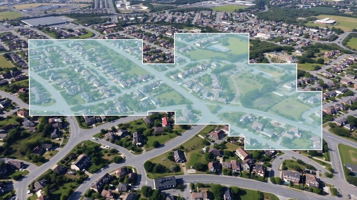
Plat maps are detailed diagrams that show how land is divided into lots. They provide a visual representation of property boundaries and can also indicate zoning classifications. By studying plat maps, investors can get a clearer picture of the land’s potential.
To effectively use plat maps in relation to zoning laws, investors should consider the following:
- Identify Zoning Classifications: Plat maps often include zoning information. Understanding these classifications is vital for determining what can be built.
- Check for Restrictions: Some areas may have additional restrictions, such as height limits or environmental protections. Plat maps can help highlight these.
- Consult Local Authorities: Engaging with local planning departments can clarify any uncertainties about zoning and land use.
The Impact of Zoning Changes on Property Development
Zoning laws can change over time, which may affect property development plans. For instance, if a local government decides to rezone an area from commercial to residential, this can drastically alter the potential use of the land. Here are some key points to consider:
| Zoning Change | Impact on Development |
|---|---|
| Residential to Commercial | Increased potential for business opportunities |
| Commercial to Residential | Limited options for development; may decrease value |
| Height Restrictions | Limits the number of floors in a building |
| Environmental Protections | May require additional permits or studies |
Investors should keep a close eye on zoning changes in their target areas. Staying informed can help them pivot their strategies accordingly and seize new opportunities.

Common Challenges When Reading Plat Maps
Dealing with Inaccurate or Outdated Maps
Reading plat maps can be tricky, especially when dealing with inaccurate or outdated information. These maps are essential for understanding property boundaries, but if they are not current, they can lead to confusion. For instance, a property owner might think they own a piece of land that has been sold to someone else. This can cause disputes and complications.
Understanding Complex Property Divisions
Another challenge lies in the complex property divisions often illustrated on plat maps. These maps can show various parcels of land, easements, and rights-of-way, which can be overwhelming. For example, a plat map may depict multiple lots divided in a way that is hard to follow, making it difficult for investors to grasp property details.
Resources for Resolving Plat Map Issues
To tackle these challenges, several resources are available:
| Resource | Description |
|---|---|
| Local County Office | Often holds the most accurate and up-to-date maps. |
| Online GIS Tools | Many states provide online Geographic Information Systems for easy access to maps. |
| Title Companies | They can provide detailed reports on property boundaries and history. |
By utilizing these resources, investors can clarify any uncertainties when reading plat maps in the US.

Plat Map Tricks: Enhancing Your Reading Skills
Tips for Quick Reference and Recall
Reading plat maps can feel like deciphering a complex puzzle. However, with a few simple tips, anyone can improve their skills. Here are some techniques to help enhance understanding:
- Familiarize with Symbols: Each plat map uses symbols to represent different features. Knowing what these symbols mean can save time.
- Use a Legend: Always check the legend. It provides essential information about the map’s symbols and colors.
- Highlight Key Areas: When reviewing a plat map, using a highlighter can help pinpoint important sections, making them easier to find later.
- Practice Regularly: The more one practices reading plat maps, the better they will become. Regular exposure builds confidence.
Using Technology to Improve Understanding
In today’s digital age, technology can be a game-changer for reading plat maps. There are several ways to leverage tech for better comprehension:
- Interactive Maps: Many online platforms offer interactive plat maps. These allow users to zoom in and out, making it easier to focus on specific areas.
- Tutorial Videos: Online videos can provide step-by-step guides on reading plat maps. Watching someone else can often clarify confusing aspects.
- Online Courses: Some platforms offer courses specifically on how to read plat maps in the US. These can provide in-depth knowledge and practical tips.
Apps and Tools for Reading Plat Maps
Several apps and tools can assist in understanding plat maps. Here’s a handy table showcasing some popular options:
| App/Tool | Features |
|---|---|
| GIS Mapping Apps | Offers detailed geographic information. |
| Map Viewer | Allows zooming and layering of different maps. |
| Real Estate Apps | Often include plat maps for properties. |
These tools can make the reading process smoother and more intuitive, helping to grasp the layout of land better.

Curious how these digital strategies work in real life?
Watch our latest YouTube video where we dive into the power of Social Media, SEO, and Online Sales Tactics, illustrated by a compelling real estate success story. Tap in to see how theory turns into results!
The Future of Plat Maps in Smart Land Development
Innovations in Mapping Technology
Mapping technology has come a long way, transforming how investors approach land development. New tools like Geographic Information Systems (GIS) and drones are changing the game. These innovations allow for detailed land analysis and visualization. Investors can now see land features in high definition, making decisions quicker and more accurate.
For instance, GIS software can layer different data sets, showing everything from soil quality to zoning laws. This means investors can spot potential issues or opportunities before making a purchase. Drones can capture aerial views, providing a bird’s-eye perspective that was once only available to those with deep pockets.
The Importance of Digital Plat Maps
Digital plat maps are essential in modern land development. They are interactive and can be updated in real-time. This flexibility allows investors to adapt to changes quickly. Traditional plat maps are static and can become outdated, leading to costly mistakes.
Digital maps also allow for easy sharing and collaboration. Investors, developers, and city planners can access the same information, ensuring everyone is on the same page. This boosts communication and helps avoid misunderstandings.
Trends Shaping the Future of Land Development
Several trends are shaping the future of land development. Here are some key points:
| Trend | Description |
|---|---|
| Sustainability | More investors are focusing on eco-friendly projects. |
| Urbanization | Cities are expanding, increasing demand for land. |
| Smart Technology | Integrating tech into buildings is becoming common. |
| Data-Driven Decisions | Investors rely on data to guide their choices. |
These trends highlight the importance of staying informed. Investors must keep an eye on market shifts and adapt their strategies. Understanding how to read plat maps in the US is crucial for navigating these changes effectively.

Legal Aspects of Plat Maps in the US
Understanding Property Rights and Boundaries
Property rights in the United States are crucial for anyone involved in land development. These rights define who owns what and the extent of their ownership. Plat maps play a significant role in illustrating these boundaries. They provide a clear visual representation of land divisions, showing lot sizes, street layouts, and easements. Understanding these maps helps investors grasp the legal framework surrounding their properties.
For instance, when an investor purchases land, they must know where their property begins and ends. This knowledge can prevent disputes with neighbors. A plat map acts as a guide, helping to clarify these boundaries. Without a clear understanding of property lines, investors may find themselves in legal trouble, facing challenges that could have been avoided with proper knowledge.
The Role of Plat Maps in Legal Disputes
Plat maps can become vital in legal disputes. When disagreements arise about property boundaries, these maps serve as official documentation. They provide evidence of how land is divided and can help resolve conflicts. In court, a well-documented plat map can be the difference between winning and losing a case.
For example, if two neighbors argue over a fence placement, the plat map can show the exact property lines. This clarity can help settle disputes quickly and fairly. Investors should always keep updated plat maps on hand, as they are essential tools in protecting property rights.
How to Protect Your Interests with Accurate Plat Maps
To protect one’s interests, it is essential to have accurate plat maps. Here are some steps to ensure this:
- Obtain Official Maps: Always use maps from local government sources. These are the most reliable.
- Regular Updates: Land development can change boundaries. Regularly check for updates to plat maps.
- Consult Professionals: When in doubt, seek advice from a land surveyor or real estate attorney. They can provide insights on how to read plat maps in the US and guide investors through the complexities of property ownership.
By following these steps, investors can safeguard their interests and avoid potential pitfalls.
In the End…
Understanding how to read plat maps in the US is not just a skill; it is an essential tool for anyone involved in land development or real estate. These maps serve as the blueprint of property boundaries, zoning laws, and land use, providing clarity and guidance for investors and developers alike. By mastering the nuances of plat maps, individuals can navigate the complexities of property ownership with confidence, avoiding costly mistakes and making informed decisions.
The journey of learning to read plat maps may seem daunting, but with the right knowledge and resources, it becomes an invaluable asset. As technology continues to evolve, the future of plat maps promises greater accessibility and precision, paving the way for smart land development. For those eager to explore more about this topic and enhance their understanding further, visiting Land Development Hub will provide a wealth of information and insights.
Eduardo Bugallo, PhD.

No responses yet